This project is about monitoring snow properties evolution on the long-term using Sentinel satellite series at global scale. The successful candidates will evaluate and develop retrieval algorithms. The project will more specifically focus on two primary sites, one in Canada and the other one in the French Alps. Secondary sites including Greenland and Antarctica will be exploited for the validation.
Research project
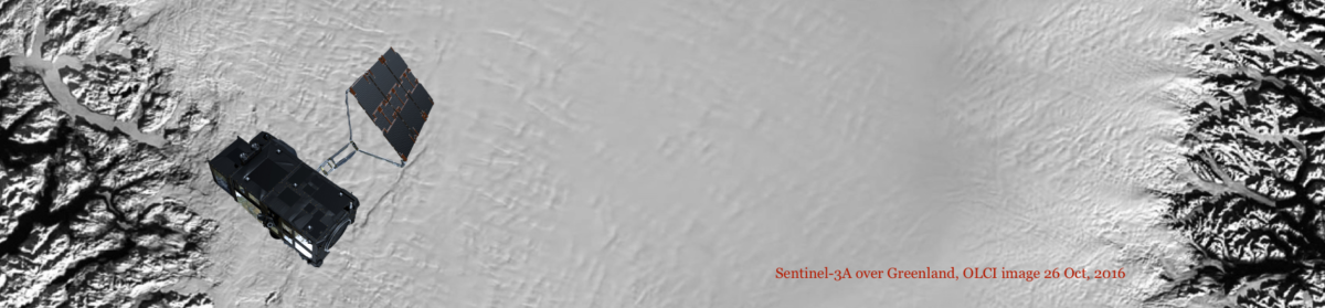
Optical sensors on Sentinel-2 (MSI) and Sentinel-3 (OLCI and SLSTR) provide a new and unique opportunity to investigate the temporal and spatial variability of the snow cover properties at high spatial resolution and on the long-term. The objective of this post-doctoral position is to 1) evaluate global moderate-resolution algorithms for snow cover properties retrieval (snow cover fraction, spectral and broadband albedo, snow specific surface area – SSA and light absorbing impurity content) from S-3 images developed by other parties and 2) develop and evaluate high- resolution algorithms adapted to complex terrains from S-2. The second objective is interesting by itself and will also provide validation data for the first objective on specific sites.
The general evaluation will use data from many sites around the world where in-situ observations are available (Alps, Arctic, EGRIP in Greenland, Dome C in Antarctica, …). The second objective will be especially focused at 2 locations :
- Umijaq area in Canadian Arctic where the interest is on monitoring snow-vegetation interactions in relationship with climate change, greening and permafrost evolution.
- Col du Lautaret in the French Alps which features complex terrain and potential high human impact. The interest is in following the evolution of snow impurities and induced changes in snow physics at the site which is largely impacted by Saharan dust deposition events as well as providing data for snow-vegetation interaction.
These two sites have been equipped with specific instrumentation dedicated to snow monitoring (including in situ spectral reflectance measurements, SSA and light absorbing impurities measurements).
The work plan includes :
- Adapting atmospheric and topographic corrections existing algorithms to S-2 and S-3 images (MODINLAB by Sirguey et al., 2009 ; Dumont et al., 2012)
- Developing snow cover fraction, snow SSA, light absorbing impurities content, snow spectral and broadband albedo based on methodology for S2 proposed in Dumont et al., 2012 ; Kokhanovsky and Zege, 2004, Malinka, 2014 and Picard et al., 2016.
- Participating in field measurements campaigns at Col du Lautaret, Umijaq and possibly EGRIP.
- Evaluate the accuracy of the proposed algorithms at the two sites
- Evaluate the accuracy of available moderate-resolution algorithms at the two sites and at other sites where in-situ data are available.
- Investigate the temporal and spatial variability of the snow cover properties for theses locations in relationship to the specific scientific objectives.
Within this project, special attention will be drawn to the effect of terrain complexity on the accuracy of the surface reflectance and the effect of snow surface roughness on retrieved surface reflectance and snow properties.
Progresses and results shall be documented in project reports. As part of the scientific dissemination it is also expected that the postdoc present results in scientific journals and at international conferences.
This work will contribute to two projects; one funded by the European Space Agency (PI Jason Box, GEUS, Danemark) and the other one by the BNP Paribas fundation (PI Florent Dominé, Takuvik, U. Laval, Canada). The position is based in Grenoble, a place known for its excellence in snow science, but also implies strong international collaborations with colleagues in Canada, Germany and Denmark.
Position summary
Full-time temporary employment. The position is funded for 24 months from January 2017 to December 2018.
Qualifications
To qualify as a candidate for the postdoc position you must have a Ph.D. degree with strength in remote sensing, snow optics and physics or related disciplines and you must have a solid theoretical background in mathematics, physics, statistical analysis and programming. A genuine interest and curiosity in the field measurements campaigns and excellent programming skills (e.g. python) are needed. Experience in processing and analysis of data from satellites, in situ measurements or snow models is regarded as an advantage for the position. The position requires good verbal and written communication skills in English, as most of the work will take place in an international environment. An initial scientific publication record is expected.
Contacts
Ghislain Picard (ghislain.picard@univ-grenoble-alpes.fr)
Marie Dumont (marie.dumont@meteo.fr)